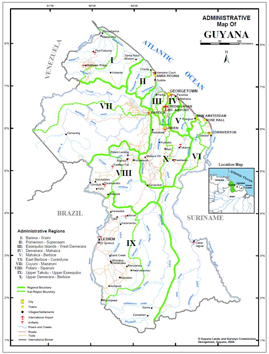
Established on June 1, 2001 under the Laws of Guyana, we serve as the guardian of public lands, rivers, and creeks.
The Guyana Lands and Surveys Commission conducts surveys, prepares maps, maintains national survey controls, and oversees land surveys. We manage the sale, lease, valuation, and records of public lands, collect rents and fees, and ensure compliance with legal conditions.
Our role includes formulating land use policies, compiling land resource inventories, promoting infrastructure maintenance, and advising the government on land-related policies.
Comprehensive land administration and surveying solutions for Guyana's development
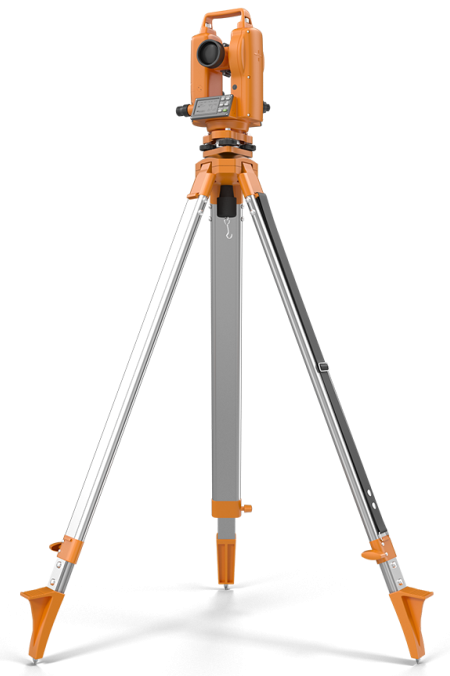
We offer cadastral, engineering, topographic, and occupational surveys, plan recording and more.

We handle land administration for leased lands, from expressions of interest to lease issuance.
More that (6,625) entries of names of places and geographical features in Guyana.
Benefit from our catalogue of hard copy, digital and aerial photographs of Guyana.
We offer Large Format Scanning, Large Format Plotting, Georeferencing, Digitising, Training etc.
The overarching policy framework for land use decision-making for other land-based sector agencies.
Collaborative partnerships with agencies that play vital roles in land administration and development.